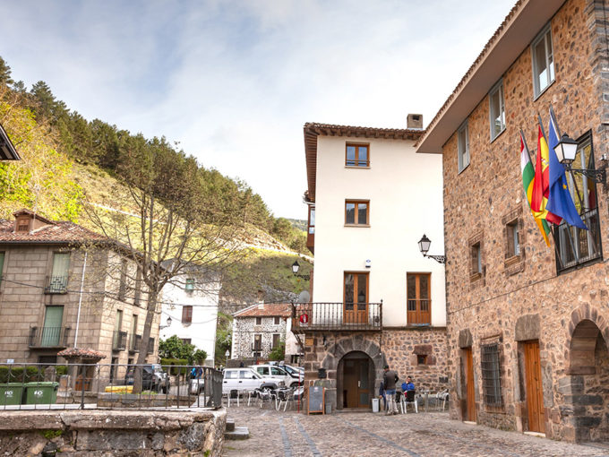
1 · The Casino
The Tertulia Ortigosana (Ortigosana gathering), association of different residents, commanded by the illustrious son of the village, Mr Gabriel de la Riva

En uno de sus valles recorrido por el río Iregua, está el Camero Nuevo, tierra de bosques, pastizales, cumbres y pequeños valles, donde se sitúan 13 pueblos con historia, tradiciones y leyendas, que siglos atrás se agruparon bajo la denominación de Hermandad de las 13 Villas.
La población se sitúa en las laderas de dos cerros enfrentados y separados por el río Albercos, que desciende de las laderas de Mojón Alto (1.766 m), cumbre que domina la comarca.
En el pasado tuvo tres barrios dominados por dos templos: el Barrio de Arriba o de San Martín, con el templo dedicado a este santo, el de Abajo o Barruelo, con el templo dedicado a San Miguel, y el de Cirujales, hoy desaparecido.
En su tipología, responde al poblamiento serrano, que aprovecha las laderas del medio día para el asentamiento de las construcciones, pero que conforme fue creciendo, precisó de un nuevo emplazamiento en la parte más baja.
En 2017 contaba con 241 habitantes empadronados. Altitud: 1.047 m.
941 46 25 42
casinodeortigosa@casinodeortigosa.com
Plaza Alberta Martínez de la Riva, 2
941 46 21 20
info@senoriodelamurada.es
C/ Enrique de la Riva, 4
941 57 19 06
603 54 05 77
reservas@lahozdelencinedo.com
C/ Pedro de la Riva, 13

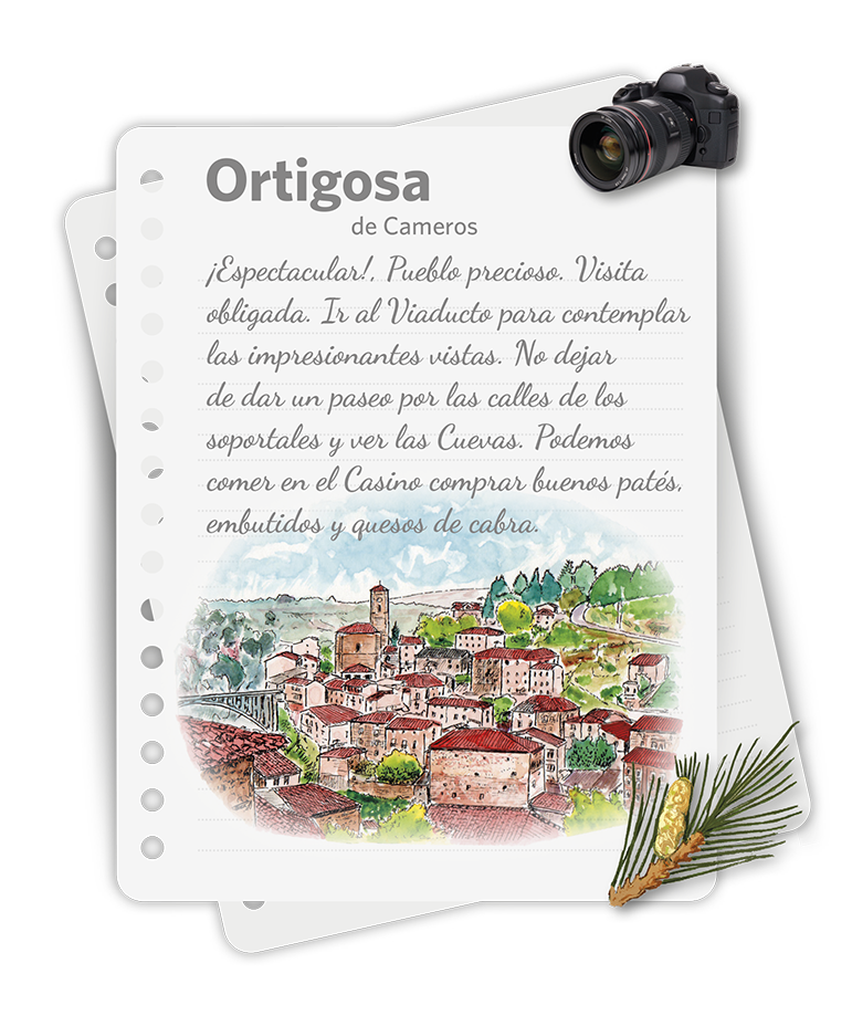
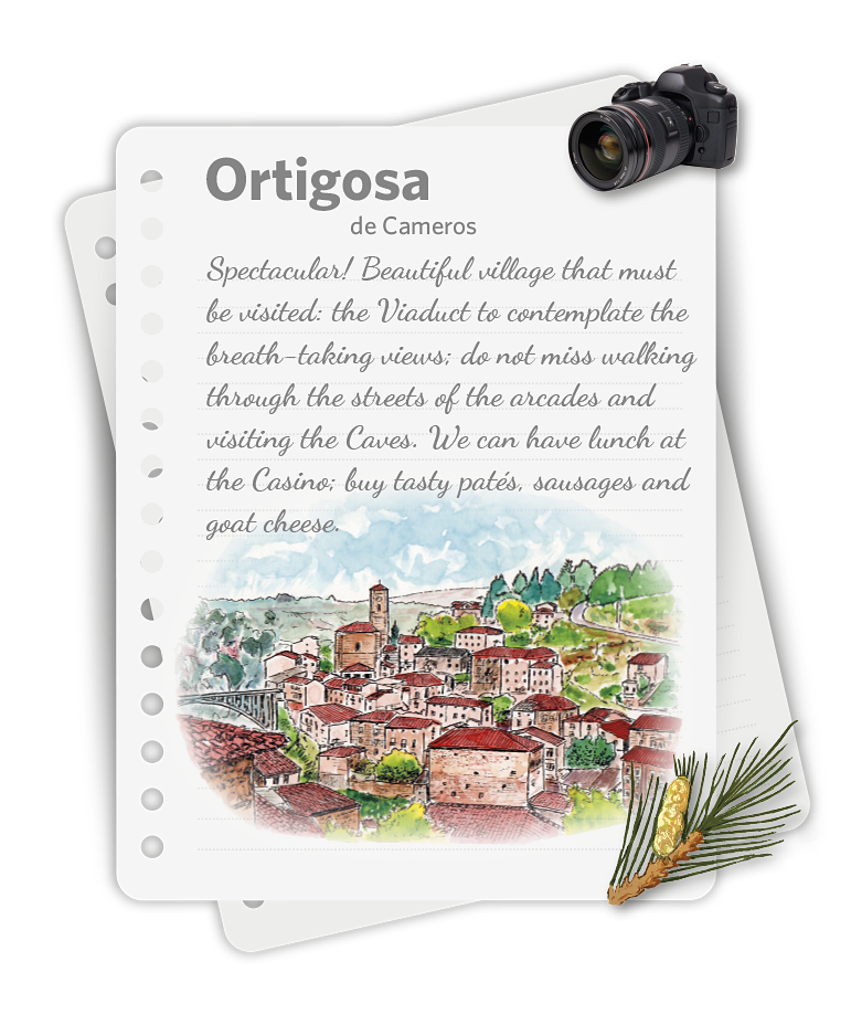
The village is located on the slopes of two facing hills and separated by the Albercos River, which descends from the slopes of Mojón Alto (High Mojón, 1.766 m), the summit that dominates the region.
In the past, it had three districts, governed by two temples: The Upper District (Saint Martin), with the temple devoted to this Saint; the Lower or Barruelo, with the temple devoted to Saint Michael and the Cirujales (it no longer exists).
In its typology, it responds to the settlement in the mountain, which benefits from the slopes at noon for the settlement of the constructions but which, as they were growing, needed a new location down the lowest side.
In 2017 it had 241 registered inhabitants.
941 46 25 42
casinodeortigosa@casinodeortigosa.com
Plaza Alberta Martínez de la Riva, 2
941 46 21 20
info@senoriodelamurada.es
C/ Enrique de la Riva, 4
941 57 19 06
603 54 05 77
reservas@lahozdelencinedo.com
C/ Pedro de la Riva, 13


The Tertulia Ortigosana (Ortigosana gathering), association of different residents, commanded by the illustrious son of the village, Mr Gabriel de la Riva
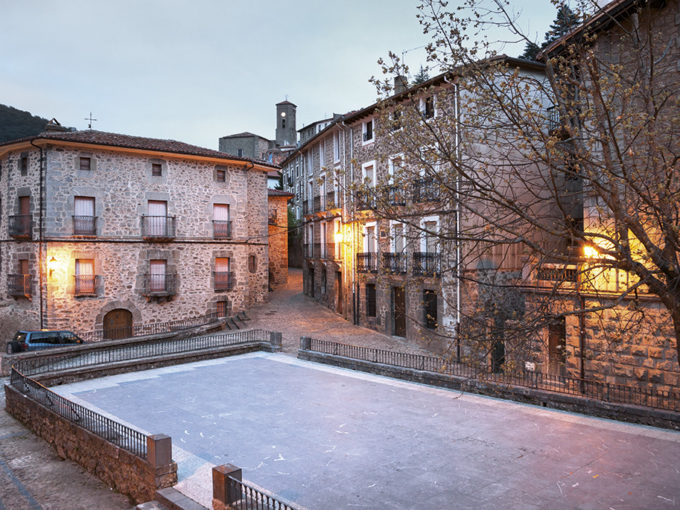
On the covered course of the Albercos River, work accomplished by the Ortigosana Union in 1890, is the centre of the village
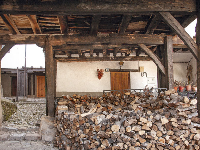
Portales (Arcades) Street owes its name to the constructions that protected the pedestrians, were winter meeting spaces and also provided shade during the summer
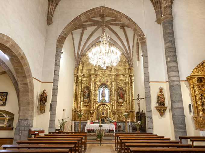
This temple, divided into two naves with three sections, was built in the XVI century. Its altarpiece is devoted to Saint Martin
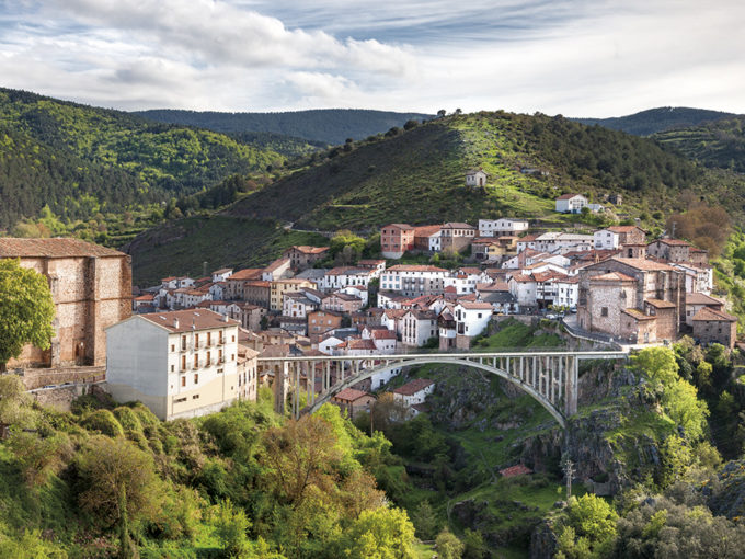
Due to the orography of the place, the two neighbourhoods of Ortigosa were separated, physically and socially, and divided by a tumultuous river
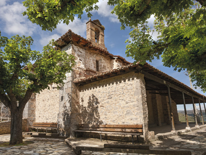
Just after arriving in Ortigosa and built on the ravine, we find the chapel devoted to Saint Lucía. It was also renovated and enclosed
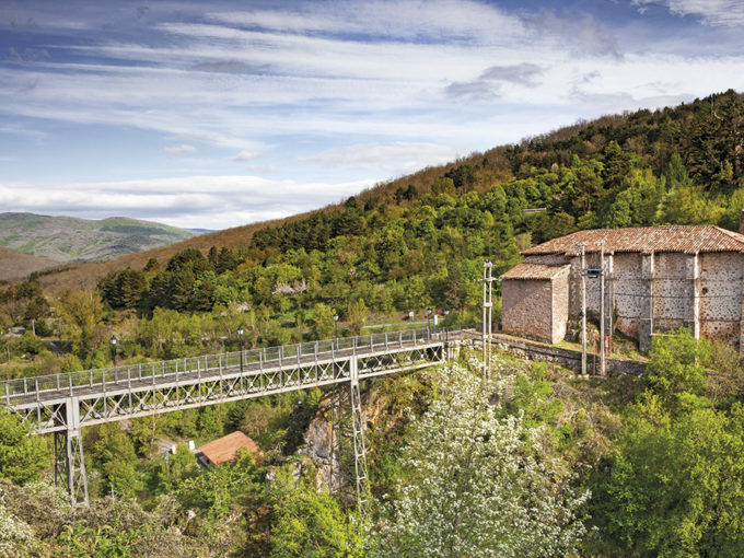
Another bridge from which we can observe magnificent views is the Puente de Hierro (Iron Bridge), which was built in 1910
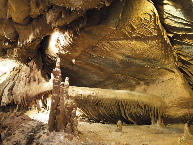
Crossing the Puente de Hierro (Iron Bridge), we find the only two accessible caves in La Rioja, although there are ten caves in the municipality
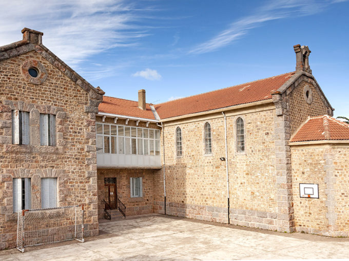
It is very loved by the Cameranos, since many of their children studied in this centre. It was created in 1927 as the Charitable Asylum of Nuestra Señora del…
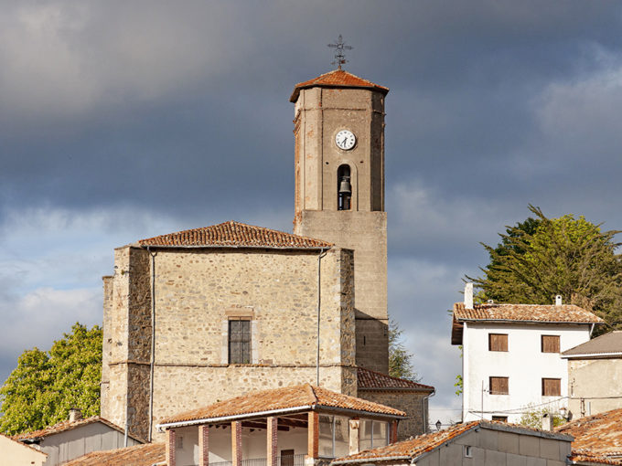
This mid-XVI century building, devoted to Saint Michael (who is venerated on the main altar of the temple) was is located in the Barrio de Abajo
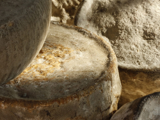
La tradición quesera de la sierra se continúa en Ortigosa con una instalación artesanal, que elabora queso
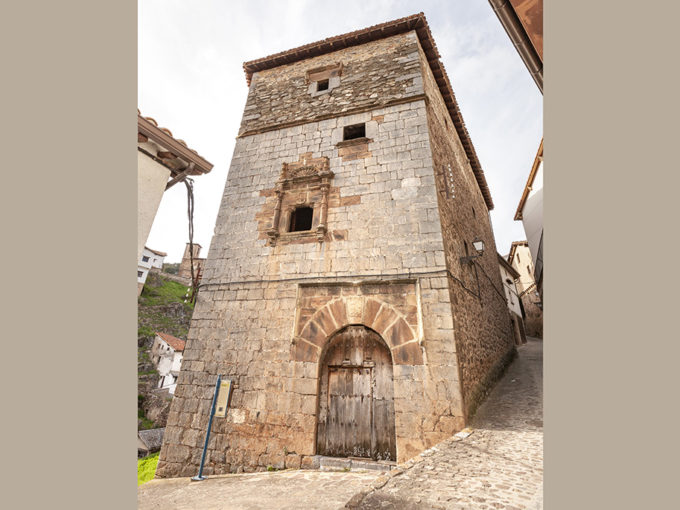
It is a building full of legends and spectacular presence, which is among the most interesting civil buildings in the town
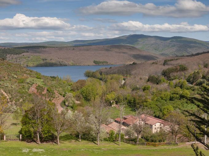
The old project of storing the waters of the Iregua is fulfilled as of 1932, year in which the first stone of this reservoir is placed
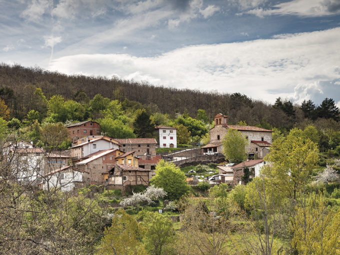
It is a beautiful and peaceful place on the reservoir that covered its vegetable gardens in the past
In the XVIII century, Ortigosa with its villages owned 40.000 head of transhumant sheep